A community-based Digital Tree Identity system for wildlife-corridor monitoring
We pay the people who live beside the forest to monitor it — verified by satellite, by science, and by a transparent reward they can spend at home.
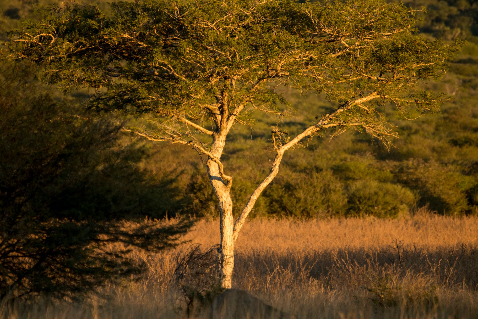
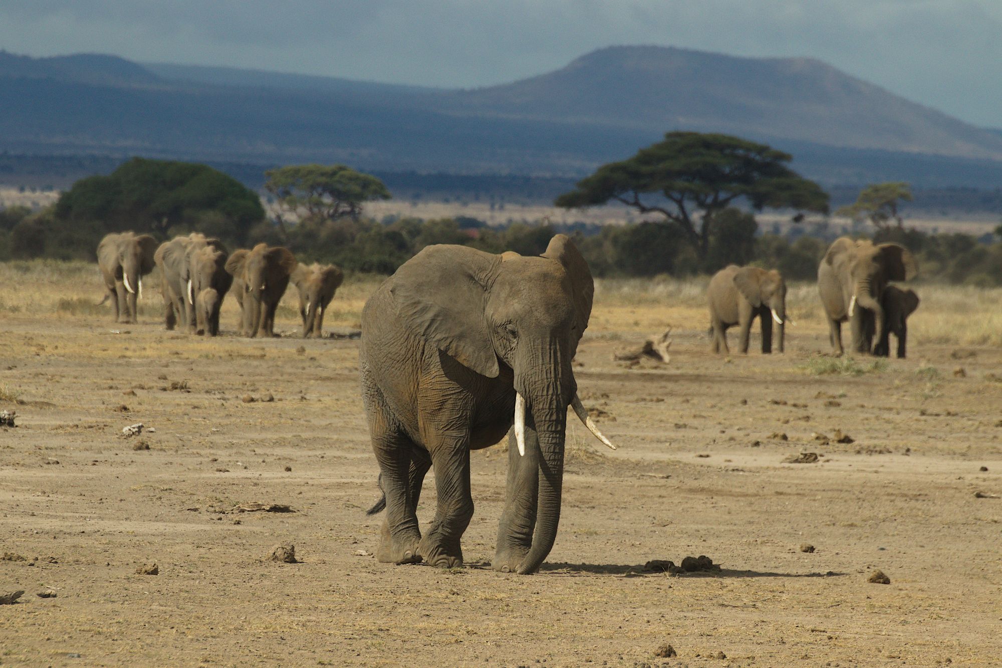
Landscape figures from Erdwin’s dissertation on the 15 transboundary corridors of KAZA.
Corridors disappear — not because people are bad, but because families need food.
Clearing is a consequence of missing alternatives. So this project does not pay people for conservation. It pays them for monitoring — honest, verifiable, and rewarded the moment the work is done.
From one satellite pass to a living local economy.
- 01
Satellite
One high-resolution baseline capture.
- 02
AI detects every tree
Millions of crowns, located once.
- 03
Digital Tree Identity
Each tree becomes a verifiable record.
- 04
Random statistical sampling
The forest, represented — at a fraction of the cost.
- 05
Local community
Paid to monitor, not to conserve.
- 06
Photo verification
One tree, one photo, from the field.
- 07
Blockchain verification
Tamper-proof, transparent, auditable.
- 08
Automatic reward
No paperwork, no middlemen.
- 09
Local wallet
Value lands directly with the citizen.
- 10
Local economy
Spent in the village — money stays home.
Every tree earns a digital identity.
AI maps the forest once, in high resolution. After that, the AI is barely needed. What remains is a permanent record for each tree — like a digital passport — and the blockchain stores its history, not the tree. A life story, tree by tree.
Thousands of these identities compose a Digital Corridor Identity — the real subject of protection.
Random sampling, every quarter.
Each quarter the system picks reference trees at random — 400, 800, 3,000. Nobody knows in advance which. Because they are random, they represent the whole forest. This is the scientific heart of the method.
The project leader sets the intensity.
Different corridors, different intensity. It saves an extraordinary amount of money — without losing scientific weight.
No text · no forms · works offline
Four taps. No words.
Go to the tree. Take the photo. Send. Receive the reward. Only icons, no forms, no literacy barrier. It works offline and synchronises the moment a signal appears.
- Go to treeGPS guides to the exact reference tree.
- Take photoOne crown, framed by the app.
- SendQueued offline, synced automatically.
- Reward receivedToken lands in the local wallet.
Not crypto. A transparent community incentive layer.
On successful validation, the wallet automatically receives a token — for example 1 USD ≈ 20 NAD. The amount is variable: the harder the task, the higher the reward.
Not every tree costs the same. The system knows.
From distance, density, terrain and season, the reward is calculated automatically — fair to the citizen, efficient for the project.
Community split
Set by the project. Two common shapes:
Community economy
Tokens are redeemed locally — the money stays in the village.
Everything visible, in one place.
Today's missions
- Open
- Completed
- Reward paid
Forest status
- Trees verified
- Satellite layer
- Health trend
Corridor status
- Confidence
- Monitoring coverage
- Connectivity
Scientific value. This is not a replacement for classical monitoring — it is a statistically validated sampling system that cuts cost dramatically without materially losing rigour.

The same system, for everything nature asks us to watch.
Five funded phases.
- 1Phase 1
Baseline
AI maps every tree once. Each receives a Digital Tree Identity.
- 2Phase 2
Blockchain infrastructure
The transparent incentive layer: wallets, rewards, audit trail.
- 3Phase 3
Community app
Offline, icon-only, built for the field.
- 4Phase 4
Pilot deployment
First corridors monitored by their own communities.
- 5Phase 5
Evaluation
Statistical validation, lessons, and the path to scale.
Funding per phase is set with the partner — the WWF enters figures to its own budget capacity.
Not only funding — a substantial part built as our own contribution.
As a result, the bulk of external funding flows into local implementation, community engagement and fieldwork.
We are not monitoring trees.
We are protecting corridors.
The trees are the reference points. The Digital Tree Identity is the building block of a Digital Corridor Identity — community-owned, scientifically validated, and cheap enough to last.